The USFS has completed their section of the map and the first Map has been printed. There is a digital version avaliable now that you can use with a phone or tablet as well.
Try The Digital Map Here


![]()
Once you have the App installed search for Whitetail-Pipestone Motorized Recreation Visitor Map.
BLM Map
This is a PDF and can take some time to load and you will need a PDF reader such as Acrobat (Free Download)
GPS Coordinates for a few points of Interest.
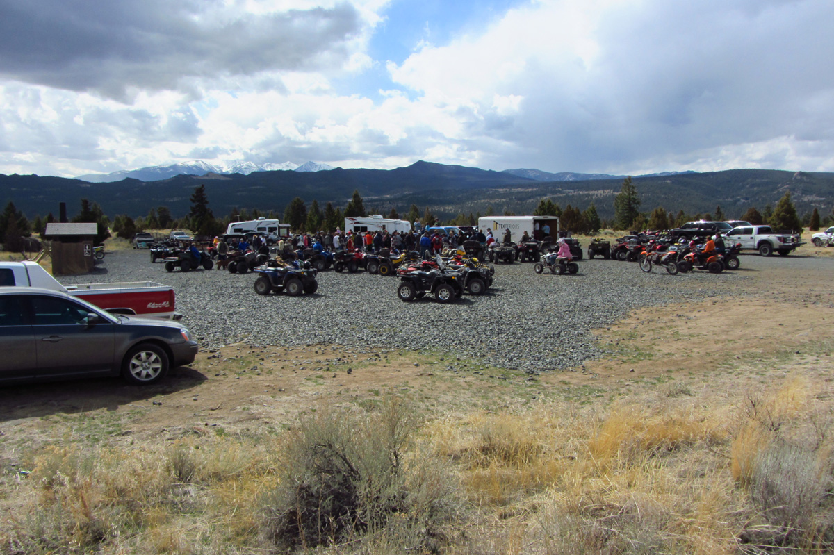
| Four Corners There’s a large parking area in this somewhat centralized location. Latitude 45°56’44.46″N Longitude 112°16’30.94″W |
 |
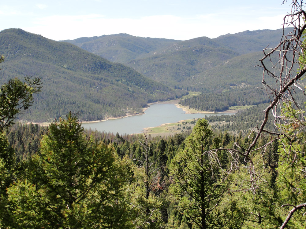
| Delmoe Lake Parking Area Lots of parking here and a nice lake to spend the day by. Latitude 45°59’14.25″N Longitude 112°21’12.34″W |
|
| Lower Pipestone Parking Area If you don’t want to brave the washboards and pot holes this is a great place to unload. Latitude 45°54’38.39″N Longitude 112°14’35.46″W |
|
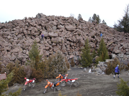
| Ringing Rocks Bring a small hammer to tap the rocks and hear all of the different tones. Please be respectful and avoid breaking the rocks or taking them with you (they don’t actually ring if they aren’t piled with all the other ringing rocks) Latitude 45°56’36.84″N Longitude 112°14’19.85″W |
 |